New Delhi [India], September 6 (ANI): India has voted in favour of a United Nations General Assembly (UNGA) resolution advocating for equal-area cartographic projections while firmly stating that its international boundaries, including the Union Territories of Jammu and Kashmir and Ladakh, must strictly adhere to India's official territorial maps.
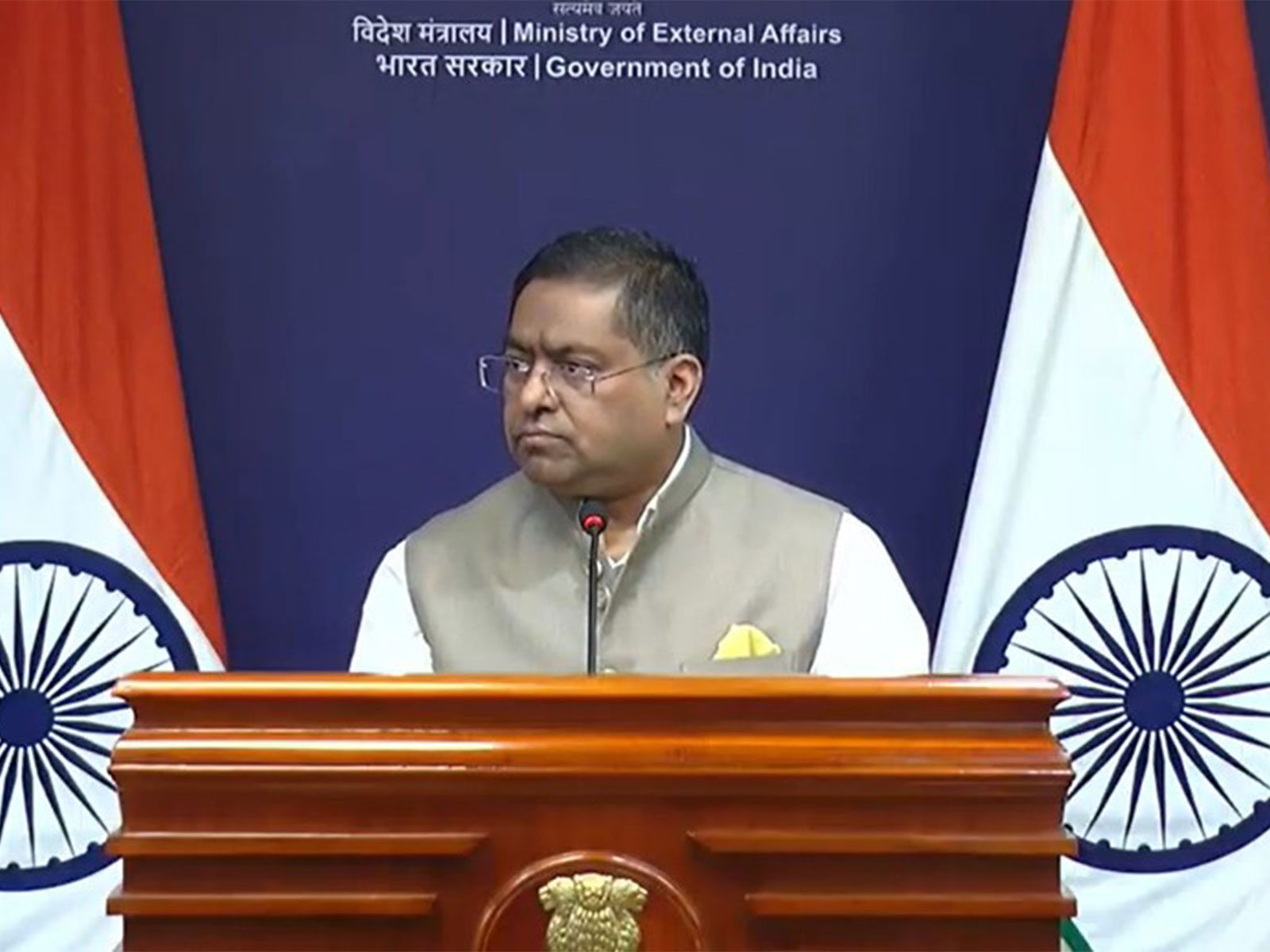
Responding to media inquiries regarding India's position, Ministry of External Affairs (MEA) spokesperson Randhir Jaiswal outlined the adoption and core scope of the resolution.
Clarifying India's submission alongside its vote, Jaiswal emphasised that supporting equal-area technical representations does not override national territorial sovereignty.
“India voted in favour of the resolution and also made an explanation of the vote, stressing the underlying principle of promoting equal - area cartographic representation. We also highlighted that the resolution does not constitute endorsement of any specific map, projection or depiction of national boundaries. India’s sovereign territory, including the Union Territories of Jammu and Kashmir and Ladakh, must be depicted in accordance with India’s official map. Any inaccurate or misleading depiction is unacceptable. Our position on India’s sovereignty and territorial integrity is clear, consistent and non-negotiable,” he added.
The UN General Assembly adopted a resolution entitled “Correct the Map: Rebalancing Global Cartographic Representation and Promoting Equitable Representation of the World’s Regions, Particularly Africa” on September 4, 2026.
The resolution stems from an African-led campaign to move away from the traditional 16th-century Mercator projection, which heavily exaggerates landmasses near the poles while visually shrinking equatorial regions such as Africa and South America.
“Its purpose is to encourage the use of equal-area map projections that preserve the relative sizes of continental landmasses. The resolution neither adopts nor authenticates any particular world map, nor does it address political cartography, including international boundaries, disputed territories or place names,” added Jaiswal.
Rather than banning older maps or mandating a single alternative, the UNGA encourages governments, academic bodies, and technology firms to utilise equal-area options, such as the Equal Earth projection, when accurate relative land sizing is required.
The measure passed with overwhelming global support, receiving 164 affirmative votes. Six nations, Estonia, Georgia, Lithuania, Moldova, Serbia, and Ukraine, abstained, while the United States cast the sole vote against the resolution.
While the Mercator projection remains widely used because of its usefulness for navigation, its visual representation can make areas closer to the poles appear disproportionately large compared with regions near the equator.
The Mercator projection makes landmasses near the poles look much larger than they actually are while showing regions near the equator at their true relative size.
On a map using the Mercator projection, Greenland looks about the same size as Africa. In reality, Africa is about 14 times larger than Greenland. Greenland covers about 2.16 million square kilometres, while Africa covers about 30.37 million square kilometres.
On the map, Alaska appears to be roughly the same size as Brazil. In reality, Brazil is nearly five times larger than Alaska. Alaska is about 1.7 million square kilometres, while Brazil is about 8.5 million square kilometres.
Antarctica appears massive at the bottom of a Mercator map, stretching out to look like an enormous continent that dominates the bottom of the world. While it is still large, its visual area is heavily exaggerated compared to landmasses near the middle of the map. (ANI)
“J-K and Ladakh must be depicted in accordance with India’s official map”: New Delhi backs UNGA “Correct the Map" asserting sovereign borders